


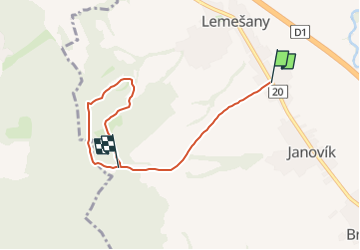

4,9 km | 6,5 km-effort

Tous les sentiers balisés d’Europe GUIDE+


Application GPS de randonnée GRATUITE
 SityTrail
IGN / Instituts géographiques
SityTrail World
Le monde est à vous
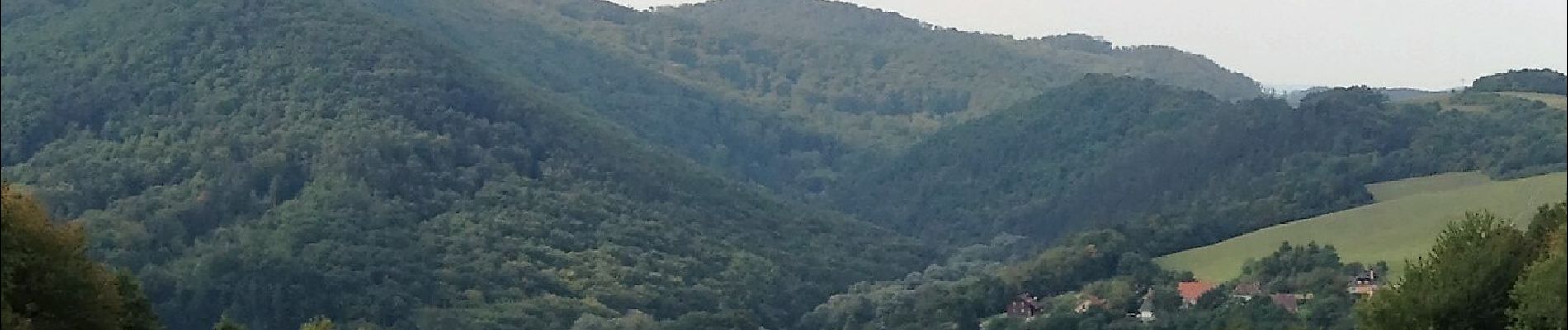
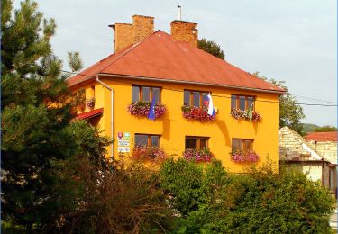
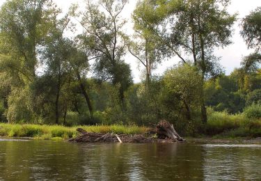
Randonnée A pied de 5,5 km à découvrir à Région de Prešov, Inconnu, okres Prešov. Cette randonnée est proposée par SityTrail - itinéraires balisés pédestres.
Randonnée créée par Záhrada pohybu.
symbol for all 4 routes is actually green backslash but routes have separate colors on guideposts


A pied
A pied
A pied